Marlin fishing has long been a combination of art, science, and a bit of luck. These elusive giants roam vast stretches of the ocean, making their location a challenge for even the most seasoned offshore anglers. Historically, finding marlin meant countless hours of trolling, relying on experience, instinct, and shared information from other anglers. Now, with the advent of tools like Hilton’s Realtime Navigator, the process has evolved. This innovative platform uses satellite data to make marlin fishing more predictable and efficient. In this article, we’ll explore how this technology is transforming the hunt for marlin, turning a daunting challenge into a precise and strategic endeavor.
The Role of Satellite Data in Modern Fishing
The ocean is a dynamic system influenced by countless variables, many of which are now measurable through satellite technology. Anglers have traditionally relied on surface-level observations like water temperature, clarity, and baitfish presence. Satellite data elevates these observations, providing a comprehensive, real-time view of ocean conditions. Hilton’s Realtime Navigator offers access to critical information such as sea surface temperature (SST) maps, chlorophyll concentration levels, altimetry data, and current flows. Together, these data points create a dynamic map of the ocean, revealing the conditions to which marlin are drawn.
Sea surface temperature (SST) maps are invaluable because marlin are highly temperature-sensitive. By identifying thermal breaks—where warm and cooler waters meet—anglers can locate areas where marlin are likely hunting. Chlorophyll levels, which indicate the presence of phytoplankton, highlight nutrient-rich waters teeming with baitfish such as sardines and mackerel. Altimetry data, showing variations in ocean surface height, points to upwellings where nutrient-rich water rises, creating biological hotspots. Current flow information reveals baitfish movement patterns, helping anglers predict where marlin may follow. By interpreting these data points, anglers gain a clearer understanding of marlin behavior, allowing for targeted and efficient fishing.
How Marlin Respond to Oceanographic Conditions
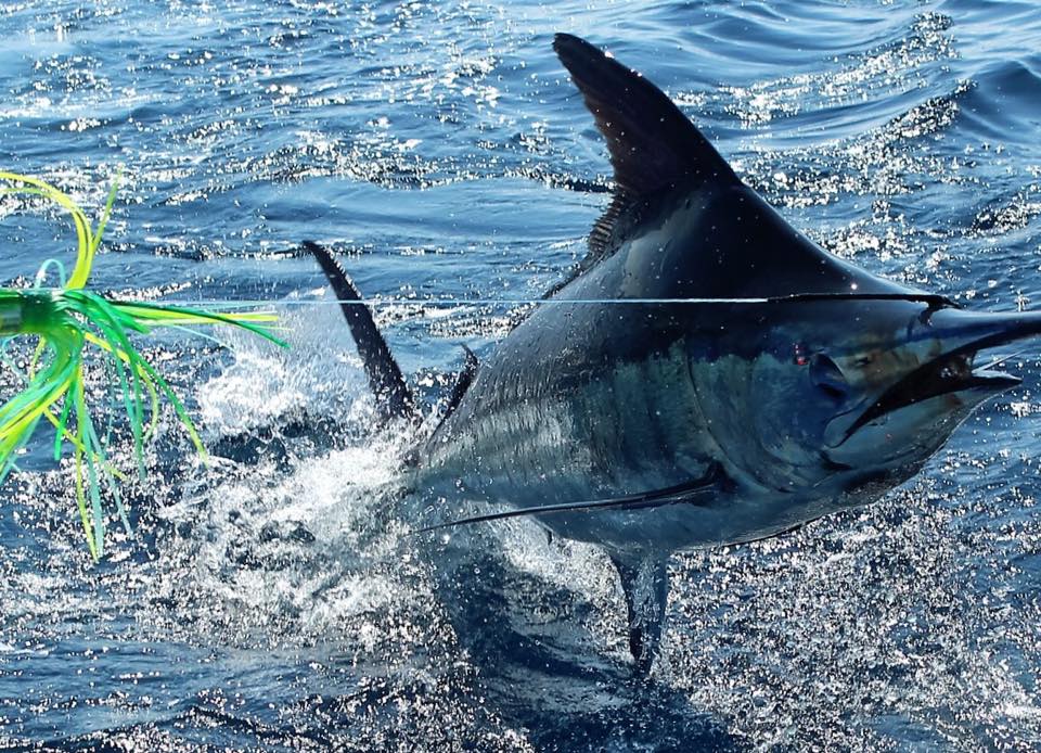
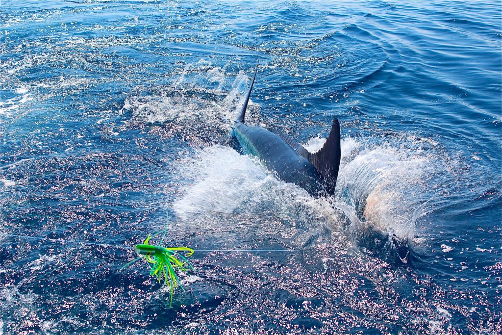
Marlin are apex predators whose movements are closely tied to their environment. Temperature breaks, for instance, often signal shifts in water conditions, such as changes in salinity or nutrient levels. These zones act as feeding grounds for baitfish and, by extension, marlin. Similarly, areas of chlorophyll-rich water, visible as green patches, attract small fish, creating a buffet for marlin. Upwellings—where colder, nutrient-dense water rises to the surface—further enhance these hotspots, drawing both baitfish and marlin. By understanding these environmental factors, anglers can move from aimlessly trolling to strategically targeting prime fishing zones, increasing their chances of a successful strike.
The Benefits of Hilton’s Realtime Navigator for Marlin Fishing
Hilton’s Realtime Navigator stands out by not only providing raw data but also translating it into actionable insights. This platform combines satellite imagery with expert oceanographic analysis to deliver real-time updates on water conditions. Its customizable overlays allow anglers to view SST, chlorophyll levels, and current flows simultaneously, providing a comprehensive picture of the ocean. Real-time updates ensure that users are always working with the most accurate data, while waypoint integration enables anglers to pinpoint marlin hotspots and upload them directly to their GPS for precise planning. This tool transforms marlin fishing from a game of chance into a calculated, efficient pursuit.
Planning a Marlin Fishing Trip Using Satellite Data
Planning a successful marlin fishing trip with Hilton’s Realtime Navigator is straightforward. Start by logging into the platform and selecting your target fishing area. Analyze SST maps to locate temperature breaks, and overlay chlorophyll data to identify nutrient-rich zones. Use altimetry and current flow data to pinpoint upwellings and major current lines, then mark promising locations as waypoints. Upload these waypoints to your GPS to create a detailed strategy for your trip. By following this process, you maximize your time on the water, focusing your efforts on areas with the highest potential for marlin activity.
Conclusion: Bringing Science to the Sport of Marlin Fishing
The integration of satellite data into fishing has revolutionized the way anglers approach the sport, particularly when targeting marlin. Tools like Hilton’s Realtime Navigator bridge the gap between luck and strategy, making marlin fishing more accessible and rewarding for all skill levels. By leveraging the power of satellite data, anglers can transform the vast, unpredictable ocean into a navigable and manageable playing field. Whether you’re a seasoned pro or a weekend warrior, this technology empowers you to fish smarter, not harder. After all, every great day outdoors begins with a solid plan—and Hilton’s Realtime Navigator is the ultimate tool to craft it.