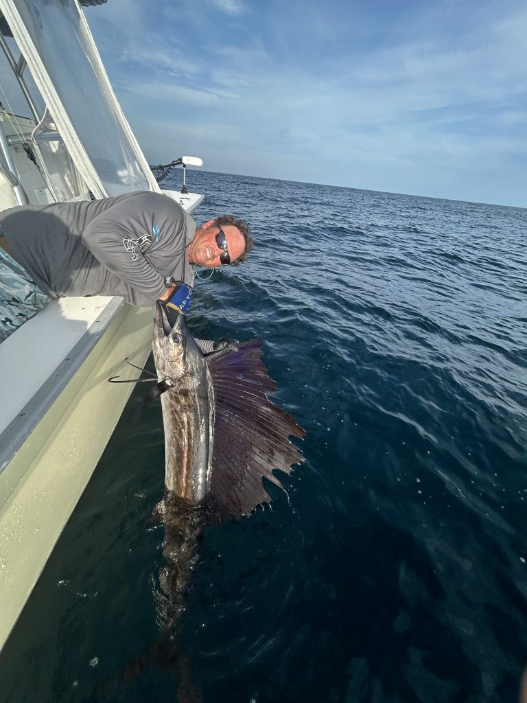
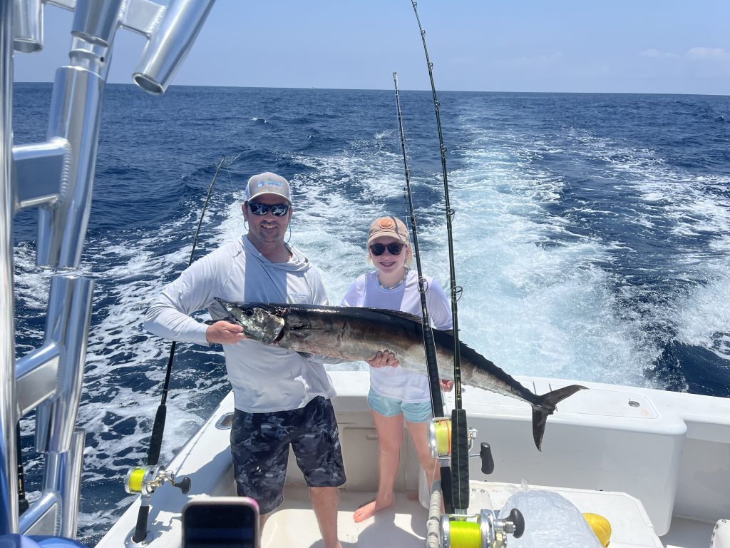
Targeting pelagic fish such as marlin, tuna, wahoo, and mahi-mahi presents a unique challenge when offshore fishing. Unlike reef fish, which are structure-oriented and consistently found in the same locations, pelagic fish are nomads of the sea. They travel where currents and other conditions create a favorable environment. In the Gulf of Mexico, one of the key forces driving marine life congregation is the occurrence of upwellings and downwellings.
Simply put, an upwelling is an area where nutrient-rich water is pulled from the depths, forming the basis of the food chain for larger marine creatures. In contrast, a downwelling is where nutrients are pushed downward, creating a dead zone with little marine life. If you’ve ever found yourself in seemingly ideal offshore conditions but encountered a lack of activity, it’s likely you were in or near a downwelling. Understanding how upwellings and downwellings influence fish movement is crucial for anglers targeting pelagic species. Recognizing the relationship between these forces and other factors, such as currents, bathymetry, and chlorophyll levels, can help pinpoint areas rich in pelagic activity, leading to more successful offshore fishing trips.
Unlike reef fish that stay near specific structures, pelagic fish roam the open ocean, constantly on the move.
What Are Upwellings?
An upwelling is a broad area of nutrient-rich water that creates ideal conditions for catching pelagic fish such as marlin, swordfish, and tuna. Upwellings are synonymous with high concentrations of plankton, the building blocks of the food chain. Larger forage species, such as squid and baitfish, follow the plankton, which in turn attracts larger predators like pelagic fish and even whale sharks.
According to NOAA, upwellings are primarily caused by wind and the Earth’s rotation, although bottom structure and deepwater currents also play a role. In the Gulf of Mexico, the loop current significantly contributes to the formation of upwellings. This process is gradual, and upwellings shift throughout the marine area over time. Satellite technology uses radar reflections to measure sea surface height, a method called altimetry, to locate these upwellings and downwellings. The data collected helps produce visual representations of where these conditions are occurring based on daily satellite measurements.

Using Altimetry to Find Pelagic Fish
When using satellite imagery to locate pelagic fish, altimetry is often the first tool I check to get a broad picture of potential offshore fishing locations. The boundary between an upwelling and a downwelling is typically a good place to start looking for other favorable conditions that will congregate bait and fish. These conditions include favorable currents over bottom structure, changes in chlorophyll content (which can indicate shifts in water color or the formation of weed lines), and temperature breaks identified through satellite sea surface temperature readings.
Since altimetry provides a broad view, I use it to define a search area, narrowing it down based on other factors like structure and currents. It’s important to remember that simply fishing in an area with good altimetry doesn’t guarantee success, and poor altimetry may lead me to rule out an area entirely. For example, if the Spur—a well-known fishing spot—is in a downwelling, the chances of finding good fishing there are reduced, and I’ll typically move east or west to maximize my chances. However, even if the Spur is in an upwelling, I may choose another spot if other conditions aren’t favorable. It’s essential to consider the larger picture of the Gulf of Mexico when deciding where to fish.
Incorporating advanced tools like Sat2Nav from Hilton’s Realtime Navigator can significantly enhance your ability to locate prime offshore fishing spots by providing real-time satellite data directly to your chartplotter. Sat2Nav integrates satellite imagery, including altimetry, sea surface temperature, and chlorophyll concentration, offering a comprehensive view of ocean conditions without leaving the helm. By using this technology, I can get immediate updates on upwellings and temperature breaks, helping me to identify potential hotspots more efficiently. The convenience of accessing this data in real-time allows for quicker decisions, making it easier to adjust plans and explore new locations if an area doesn’t look promising. This not only saves time but also increases the chances of success by ensuring you’re always fishing in the most productive waters.

Expert Insights from Offshore Captains
Capt. Shane Toole, who runs a 47 Freeman for Doublewide Sportfishing out of Orange Beach, Ala., spends much of his time offshore targeting blue marlin, swordfish, and tuna. He takes altimetry into account when planning his trips but doesn’t consider it the most important factor. “I spend a lot of time fishing oil platforms and drill ships,” says Toole. “I typically look at the currents, sea surface temperatures, and chlorophyll charts on Hilton’s before I look at the altimetry. I’ll fish structure like an oil rig even when the altimetry isn’t great because the amount of bait these places hold outweighs the negative effects of a downwelling.” He finds altimetry more useful when offshore fishing in open water, where it plays a significant role in gathering bait and pelagic fish.
Capt. Tim Kline, who owns and operates Recess Fishing Charters out of Pensacola, Fla., regularly fishes for pelagic species in both open water and around oil platforms. For Kline, altimetry is one of the most important factors in locating pelagic fish. “Altimetry is always the first thing I check,” says Kline. “While it’s not a make-or-break factor for fishing an area, it’s one of the key conditions that help hold pelagic fish. You must factor in all the variables when deciding where to fish.” Although it’s possible to catch fish in areas with poor altimetry, Kline emphasizes that the odds of success increase dramatically when offshore fishing near an upwelling. He notes that while he has experienced some good days in downwellings, slow days far outnumber the productive ones, which is why he prioritizes checking altimetry when planning his trips.
Tools for Offshore Fishing Success
The best way to monitor sea conditions like altimetry, chlorophyll levels, currents, and sea surface temperatures is through Hilton’s Realtime-Navigator. With its user-friendly interface and instructional videos, learning how to use Realtime Navigator is straightforward. For me, Hilton’s is the top choice for tracking upwellings and downwellings in the Gulf of Mexico, and it has significantly improved my ability to find fish.
For any serious offshore angler, satellite imagery is an indispensable tool. The more familiar you become with altimetry and how it affects pelagic fish movement, the more knowledgeable you will be about fish behavior. This understanding will directly contribute to more successful offshore trips in the future.